Geodetic
Geodetic Data
The majority of GeoNet's ground deformation data are collected continuously using GNSS (commonly referred to as GPS) receivers and antennas.
GPS/GNSS receivers determine very precisely positions on the surface of the earth. We compute a daily position for each of our stations so we can track the deformation caused by the interaction of the Australian and Pacific tectonic plates. This is our collection of GPS/GNSS-related data resources and tools.
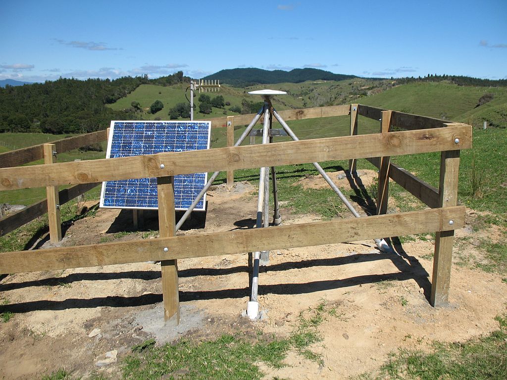
GeoNet continuous GNSS/GPS Site
GNSS Time Series Data
Daily time series solutions can be easily obtained using GeoNet's FITS data service. There are lots of example requests for GNSS time series data to either download or make plots.
The coordinates and their formal uncertainties are extracted during the GLOBK run from the combined daily solution files, and converted to (east, north, up) displacement in millimetres with respect to an a priori position and epoch in the ITRF2008 realisation.
The resulting time series have no adjustments made to them, so they may, for example, contain offsets due to earthquakes, offsets due to equipment changes at individual sites, and seasonal (annual and semi-annual) signals due to various causes.
For more information on GNSS processing using GAMIT/GLOBK please see the GNSS Time Series Notes.
GNSS RINEX Data
GeoNet's GPS data are stored in RINEX (Receiver Independent Exchange) format.
Sampling Rates
30-second samples
The full set of 30-second sampling rate GPS/GNSS data are available via:
- data.geonet.org.nz/gnss
- AWS Open Data (recommended for bulk and routine downloads)
The GPS mark codes and site locations may be viewed on the network maps. Operational dates and metadata details may be found in DELTA.
Raw GPS data in RINEX format are in the rinex directory. Proprietary binary raw format are available in the raw directory.
The GeoNet archive contains RINEX data in hatanaka unix compressed (d.Z) format and gzip compressed format (o.gz) for the time period 1995-2018. From the 1st of January 2019 onwards gzip compressed format only is available.
1-second samples
The last two months of 1-second sampling rate GPS data (for PositioNZ sites only) are available as 15-minute files via:
Event related 1- and 0.1-second samples
Note: this service is only available temporarily for access testing.
1- and 0.1-second sampling rate GNSS data are available for download for the days surrounding major geologic events. These data are available in RINEX2 and Trimble proprietary raw formats. Data access is upon request and a list of available data is provided in high rate GNSS data.
File Formats
RINEX
A description of RINEX file format may be found at the IGS, International GNSS Service website.
We make available RINEX 2 files for all sites but this format only includes tracking for GPS, Glonass and Galileo (where enabled) constellations. These files are in gzip format, with a filename extension like .YYo.gz, where YY is the 2-digit year.
GNSS Station Metadata
GeoNet's network map can be used to investigate the distribution of GNSS stations.
Station metadata
Station metadata are provided following the International GNSS Service formats:
- Site Information Form (site log);
- XML-encoded site logs.
Site logs and XML files are available on the GeoNet data repository.
Station metadata in Gamit/GlobK station.info format
Site equipment setup file that can be used for GNSS processing with Gamit/GlobK is also available on the GeoNet data repository